
The Zagros Mountains
Bandar Abbas
Port City
Persian Gulf
Hormoz Gan Province
Iran
May 15, 2020
Hello,
At the National Museum in Teheran, our knowledgeable guide Hassan conducts a discussion of the geography of Iran.
We learn that Iran sits on a tectonic plate that is called “The Iranian Plateau.” Consequently, the elevation of major cities ahead will be high above sea level. Isfahan 1574m or 5164 ft. Shiraz 1500m or 4921 ft. Kerman 1755m or 5757 ft. Kashan 2106m or 6909 ft or 1.3 mi.
The Dasht-e Kavir or the Great Salt Desert spreads across the north. In the south near Kerman, we will visit the Lut or Red Desert.
The most prominent feature on the map is a mountain range that runs like a spine down the west of Iran. The Zagros Mountains provides a protective barrier against Iraq, Iran’s neighbor to the west.
We Westerners know the Rockies and the Andes and the Alps and the Pyrenees. Given its location we can be forgiven if the Zagros Mountains are unfamiliar to us.
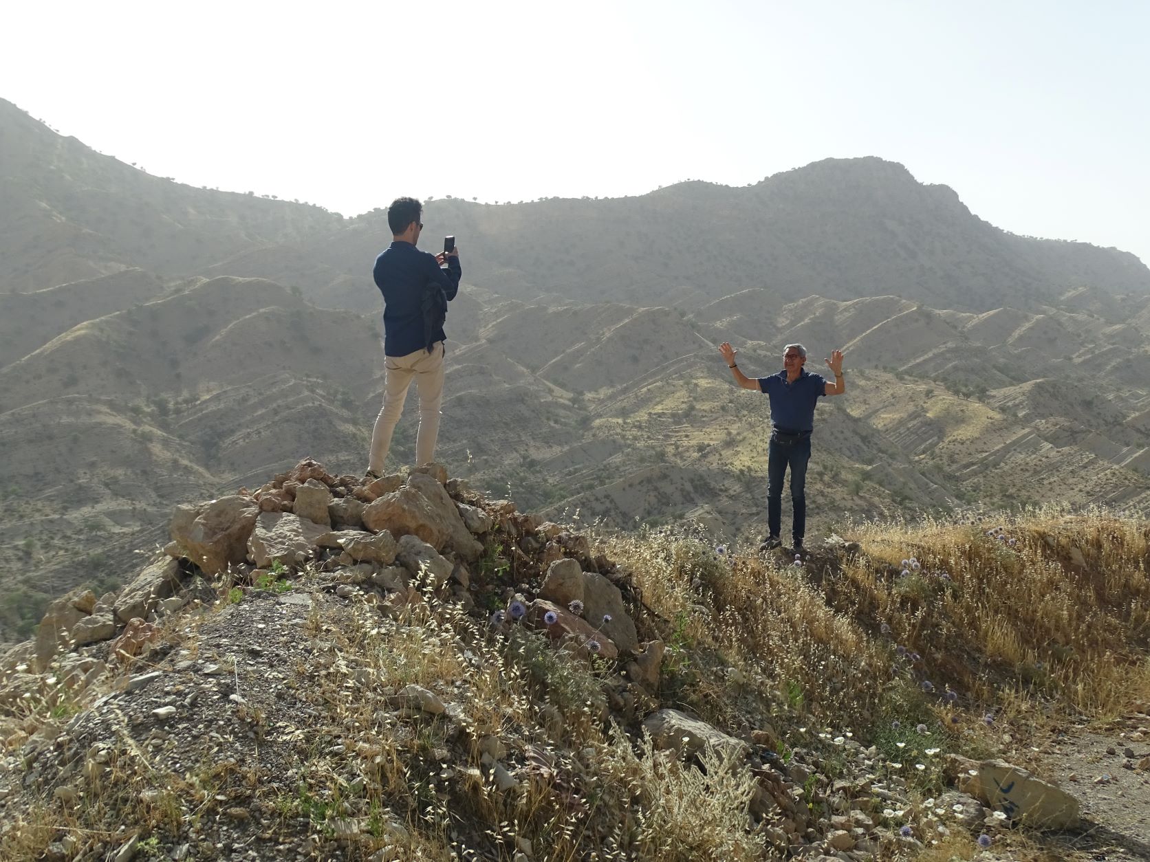
Iranians can be forgiven if they consider the Zagros only an Iranian mountain chain. In fact, the ancient sedimentary limestone formation rises south of Lake Van in southeastern Turkey, transits east through Iraqi Kurdistan and runs on a southeast diagonal through western Iran, finally subsiding under the Persian Gulf.
Years ago, I was fortunate to see these mountains in Turkey (where they are called the Taurus Mountains). Recently I visited the impressive Zagros mountains and gorges in Kurdistan.
A search for the most important mountain ranges reveals there are so many more to see in the world. In the fall I hope to start with a brief return to the Swiss Alps, continue south to the Apennines in Italy and across the Adriatic Sea to the Dinaric Alps in Montenegro.
Happy trails,
Jan
Salewa Condor Mountaineering Boots? La Sportiva Makalu? Scarpa Fuego?
Probably not.
Just my camera, a hiking stick, a hat, a bottle of water and a sturdy pair of Merrell’s.