
zagros

Zagros Mountains - Kurdistan
Posted September 11, 2022 by Jan
The Zagros Mountains
Posted May 15, 2022 by Jan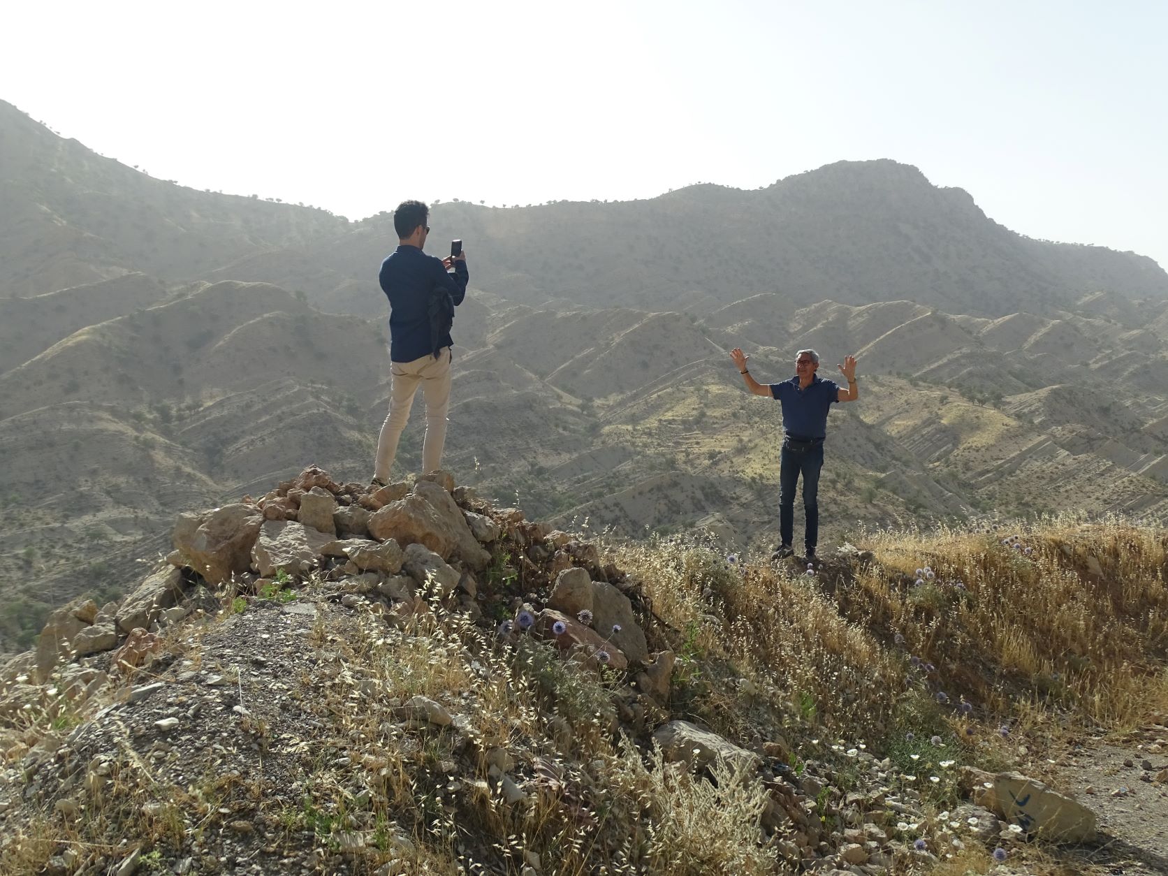
Bandar Abbas
Port City
Persian Gulf
Hormoz Gan Province
Iran
May 15, 2020
Hello,
At the National Museum in Teheran, our knowledgeable guide Hassan conducts a discussion of the geography of Iran.
We learn that Iran sits on a tectonic plate that is called “The Iranian Plateau.” Consequently, the elevation of major cities ahead will be high above sea level. Isfahan 1574m or 5164 ft. Shiraz 1500m or 4921 ft. Kerman 1755m or 5757 ft. Kashan 2106m or 6909 ft or 1.3 mi.
The Dasht-e Kavir or the Great Salt Desert spreads across the north. In the south near Kerman, we will visit the Lut or Red Desert.
The most prominent feature on the map is a mountain range that runs like a spine down the west of Iran. The Zagros Mountains provides a protective barrier against Iraq, Iran’s neighbor to the west.