
North Ethiopia: The Historical Route: Addis, Aksum, Gondar
The Lonely Planet guidebook recommends an itinerary called "Ethiopia's Historical Circuit:" ...
“The historical sights along this loop north of Addis Ababa are monumental in both scale and detail. The journey, although spectacularly scenic, is monumental in itself, covering at least 2500km (1500 miles).” *
And so I followed the historical circuit, (not a loop, but more of a crisscross of my own choosing) from Addis to Axum, Lalibela, Gonder, and Bahir Dar.
From the ancient to the modern, here are the highlights:
The Great Temple at Yeha is the oldest standing structure in Ethiopia. Built in 700 BCE, its building blocks are huge, stable and finely wrought - not a slip of paper can be wedged between the seams of the rocks.
The main stele (obelisk) in the Stelae Field in Axum soars 24m (78 ft). It was likely built as a monument or gravestone for one of the Axumite kings.
The tallest of the stone “needles” (even taller than the tallest of the Egyptian obelisks) would have been 33m (108 ft) but apparently it fell during its construction. It lies broken and on its side, a testament to the creativity, determination and ambition of an ancient empire.
The Axumite kingdom ruled this area of Africa (modern-day northern Ethiopia, Eritrea, northern Sudan, Yemen, and southern Saudi Arabia) from c. 100 – c. 900. They traded with Rome and Ancient India.
Geez, the Axumite spoken and written language, as well as Greek and Sabean are inscribed on the 4th Century Ezana Memorial.
The 16th Century World Heritage Site, Guzara Castle sits on a hilltop in the mountains of the Amhara Region.
The 17th Century Royal Enclosure in Gonder was the imperial capital of the Amhara Region. The 70,000 sq m (81,000 sq yd) compound is filled with stone buildings, towers and turrets.
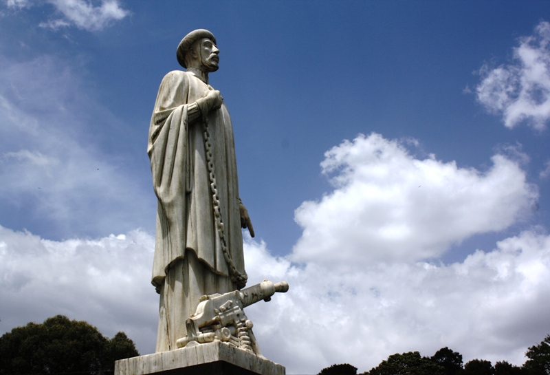
The Yekatit 12 Monument in Addis Ababa is a sad reminder of the thousands of innocent Ethiopians killed by the Italians in 1937.
The 20th Century Friendship Monument in Addis Ababa commemorates the (devastating, famine-plagued) Socialist Experiment (1974-1991) and the ties between Ethiopia and her close ally, Cuba!
History in this part of the world is deep, going back to King Solomon and the Queen of Sheba. And back again to the chapel on the grounds of St Mary’s Church in Axum. According to the Orthodox Christian faithful, the chapel houses the Ark of the Covenant.
And back much further yet, to Lucy, our 4.2 million year old ancestor whose bones were found in Ethiopia. They are now on display at the National Museum in Addis Ababa.
So much history in Ethiopia. From prehistoric Lucy, to the biblical Ark of the Covenant and King Solomon and the Queen of Sheba, to the ancient 1000 year Axumite Kingdom, to the Middle Ages castles and churches, to our modern times in the capital.
And as the guidebook indicates, the scenery is majestic. “Getting there is half the fun.” And the Ethiopians I met along the way were always welcoming, sometimes shy, proud, and despite their difficult lives, remarkably cheerful.
Difficult lives: When I began to plan my trip to Ethiopia, I was curious about the population numbers. One source mentioned 70 million. I thought that this must be a misprint. I know that Ethiopia is a big country in size (1,104,300 sq km - 426,400 sq mi) …..But 70,000,000 people?! In an area of desert and mountains? Then I checked another source and then another.
70 millions seems to be a LOW estimate. One source I trusted – a knowledgeable, well-educated man - mentioned the number 80, even 85 million! The estimate for July 2011 is more than 90,000,000! Bigger than the UK (63m) or France (65m) or Germany (81m). Ethiopia is the third largest country in Africa after Nigeria and Egypt. Now, perhaps even larger than Egypt.
Eighty percent of the Ethiopian population is engaged in agriculture. But “Ethiopia's agriculture is plagued by periodic drought, soil degradation caused by inappropriate agricultural practices and overgrazing, deforestation, high population density, undeveloped water resources, and poor transport infrastructure, making it difficult and expensive to get goods to market.”**
I saw this for myself. Farmers struggle with a wooden plow drawn by a pair of oxen. Mountains are terraced for farming, almost to the top. Goats are everywhere chewing up everything. For many towns and villages, there is one central water pump. Crowds gather to fill and then carry home huge yellow plastic cans. There are some asphalt roads, and more are under construction (Chinese contractors), but most roads are still gravel and dirt.
Out in the countryside, there are no motor bikes or cars. Donkeys carry the produce. Or men use a stick to leverage stacks of firewood on their shoulders. With a baby nestled into their shawls on their backs, women balance large bundles on their heads. Transportation is basically “per pedes.”
All through the mountains, small children tend the animals. I saw little girls, so tiny that their heads barely reach the shoulder of their cows.
And yet, there is room for optimism. Children and teenagers in school uniforms carry books and walk to class. Many walk as far as 5 or 10 or even 15 km each way, every day. Through the mountains. Under the African sun.
And to repeat, wherever I traveled, I was surrounded by welcoming and proud adults and grinning, giggly, cheerful children who were delighted to pose for a photo. Well maybe they did expect a token of appreciation from me. They asked for small change. Frequently, they asked me for a pen!
I can’t resist adding this “ancient” history relic:
http://www.youtube.com/watch?v=jNO72aCnVr0
*Ethiopia. Lonely Planet Publications Pty ltd. 2009. pg 23. .
** U.S. Department of State. Background Note Ethiopia
Don't miss Jan's videos from "Scenic Ethiopia."